
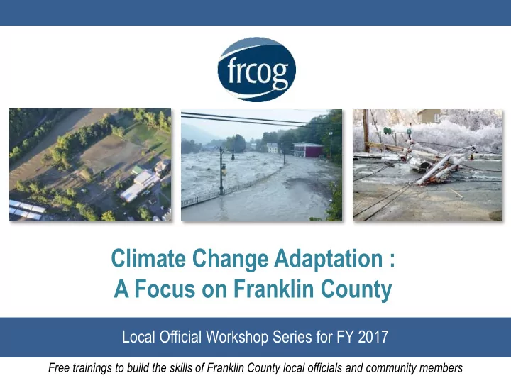
SLIDE 1
Climate Change Adaptation : A Focus on Franklin County
Local Official Workshop Series for FY 2017
Free trainings to build the skills of Franklin County local officials and community members
Climate Change Adaptation : A Focus on Franklin County Local - - PowerPoint PPT Presentation
Climate Change Adaptation : A Focus on Franklin County Local Official Workshop Series for FY 2017 Free trainings to build the skills of Franklin County local officials and community members Presentation outline Kimberly Noake MacPhee, Context:
Free trainings to build the skills of Franklin County local officials and community members
Kimberly Noake MacPhee, FRCOG Land Use/Natural Resources Program Manager Mary Chicoine, FRCOG Land Use/Natural Resources Planner Dan Nietsche, Emergency Preparedness Coordinator Glen Ayers, Regional Health Agent
watershed-scale climate change adaptation plans for all of Franklin County.
River Watershed
towns in Franklin County
MA Climate Change Adaptation Report Summary: Human Health and Welfare
Photo credit:
Human Health and Welfare Local Economy and Government Natural Resources and Habitat Key infrastructure Coastal Zone and Ocean
MA Climate Change Adaptation Report Summary: Human Health and Welfare FOCUS AREAS
PROJECTED VULNERABILITIES / IMPACTS
PREPARATIONS WE CAN MAKE
health planning
MA Climate Change Adaptation Report Summary: Local Economy and Government FOCUS AREAS
PROJECTED VULNERABILITIES / IMPACTS
government and emergency responders
PREPARATIONS WE CAN MAKE
and foresters
incentives to protect forests
care, green industry and other jobs
Photo credit: The Recorder
MA Climate Change Adaptation Report Summary: Natural Resources and Habitat
Photo credit: Evan Gregg
FOCUS AREAS
PROJECTED VULNERABILITIES/IMPACTS
water recharge PREPARATIONS WE CAN MAKE
storage and habitat
to keep forests intact
located
MA Climate Change Adaptation Report Summary: Key Infrastructure FOCUS AREAS
Photo credit: The Recorder
PROJECTED VULNERABILITIES / IMPACTS
documents PREPARATIONS WE CAN MAKE
flood-proofing structures
replacing
MA Climate Change Adaptation Report Summary: Human Health and Welfare
Strategies are being developed at the town and watershed scale.
Critical Infrastructure
Critical Infrastructure
The blue icons show plotted culvert data
Critical Infrastructure
Me Before Me After
Critical Infrastructure
Critical Infrastructure
Flood Inundation Map
Critical Infrastructure
Critical Infrastructure
Critical Infrastructure
– Especially when thinking about how storms are going to effect your town in the future.
Critical Infrastructure
– This means your town may be able to take advantage of FEMA’s 406 Mitigation Program.
means faster project worksheet approval. This means FEMA will reimburse you quicker.
– Use the information to plan for climate change. – Hazard Mitigation Plan Writing.
a Capital Improvement Plan.
mitigation grant opportunities! $$$$
Critical Infrastructure
www.surveymonkey.com/r/ClimateChangeFranklinCounty2017
In which town do you live or work?
What is your relationship with the town? (check all that apply)
80 respondents
Climate Change Adaptation and Resiliency for Franklin County survey results
Climate Change Adaptation and Resiliency for Franklin County survey results
0% 20% 40% 60% 80% 100% 120%
Shelters or cooling centers Police department Fire department Public water supply Town Hall Wastewater treatment plant Paved roads Dirt / gravel roads Major culverts, dams or bridges
13% 18% 21% 25% 34% 46% 80% 80% 83% 46% 68% 65% 31% 66% 26% 5% 3% 5% 41% 14% 14% 33% 11% 28% 13% 16% 15%
Yes No Not sure
88 respondents
Climate Change Adaptation and Resiliency for Franklin County survey results
Rate how important you think the following strategies are for your town to consider implementing to protect critical infrastructure from flooding: 89 respondents
Climate Change Adaptation and Resiliency for Franklin County survey results
Rate how important the following strategies are for your town to consider implementing to protect the flood mitigation benefits that natural resources provide:
80 respondents
Natural Resources and Climate Resiliency
STRATEGIES
a focus on stormwater and flood control
Scenario #1: Moderately developed road along river
River constrained by roads on either side Little to no buffer between farm field and river Critical facilities and compacted ground sited adjacent to the river Tributary runs off hill, often carrying debris into river Possible erosion along riverfront
Scenario #1: Moderately developed road along river
River constrained by roads on either side Little to no buffer between farm field and river
planting trees
forested land
runoff with LID
to provide space for flooding
floodplains
Scenario #2: Rural farmland along river corridor
River constrained by roads on either side and flowing under the bridge, a choke point It can be difficult to preserve large blocks of intact forest and/or ensure the use of sustainable forestry techniques Little to no buffer between farm fields and river
Scenario #2: Rural farmland along river corridor
parcels of land that provide storage of heavy rainfall
riverfront easement
land
multiple benefits
Scenario #3: Heavily developed area along Millers River Little to no buffer between the buildings/parking lot and river Densely settled residential area up- slope from river Large impervious areas (parking lots, buildings, roads, driveways)
Scenario #3: Heavily developed area along Millers River Provide public education on stormwater runoff, rain gardens, rain barrels, trees Provide incentives to reduce impervious surfaces Manage stormwater runoff with rain gardens and trees
Public Health: Private Wells
WORST DROUGHT IN A DECADE - BELOW NORMAL GROUNDWATER LEVELS
, 2016)
, 2016)
Source: MA Department of Environmental Protection; National Drought Mitigation Center
Franklin County As of March 2017, areas in Franklin County that were extreme are now severe and areas that were severe are now moderate, with the exception of the northwest corner, which is now abnormally dry.
as of Sept 2016 as of Sept 2016
Public Health: Private Wells
LOCATION OF WELLS Conditions can vary from well to well, depending on how deep the well penetrates the aquifer, how large the aquifer is, and whether multiple wells are on the same aquifer.
Franklin County
There’s no centralized way to track how many of the wells, which are regulated by local boards of health, are going dry
Public Health: Private Wells
WHAT CAN PRIVATE WELL OWNERS DO? When to test well water:
1. Before purchasing a home 2. On a regular basis (annually?) 3. When near certain properties such as gas stations, commercial businesses, junk yards and other 4. After well repairs or plumbing modifications 5. If earlier tests reveal issues 6. During / after significant events such as drought or severe flooding 7. When experiencing unexplained changes in water (odd taste, odor or appearance)
See handout for more info
Public Health: Private Wells
Q: WHAT CAN TOWNS / BOARDS OF HEALTH DO?
To create a record of current conditions To determine water levels, pump settings, and well depths To record any previous or current water quality or quantity issues To identify trends which might impact an aquifer and multiple wells Protect recharge areas
A: Create a comprehensive inventory of private wells
Educate the public on why this is important Assume all houses not on municipal water have private wells Create a simple database Use GPS to locate wells Confirm/compare/match with existing DEP private well database http://public.dep.state.ma.us/searchwell/
Public Health: Private Wells
Q: WHAT CAN TOWNS / BOARDS OF HEALTH DO?
A: Create an emergency community drinking water plan To provide water during drought, power
wells are not functioning To avoid having to truck water in To assure the community has a safe supply of water Because water is essential to people being able to stay in their homes To anticipate the loss of at-risk wells
Identify key locations in town (such as neighborhoods) Identify high-yield wells with excellent water quality (see private well inventory) Develop voluntary agreements with willing well owners to serve as emergency supply points Provide for electric generators, if needed Implement a regular water quality monitoring schedule for emergency supply points
Kimberly Noake MacPhee, kmacphee@frcog.org (413) 774-3167 ext. 130 Mary Chicoine maryc@frcog.org (413) 774-3167 ext. 131 Dan Nietsche dnietsche@frcog.org (413) 774-3167 ext. 105 Glen Ayers glenayers@frcog.org (413) 774-3167 ext. 106
Kimberly Noake MacPhee Mary Chicoine Dan Nietsche Glen Ayers