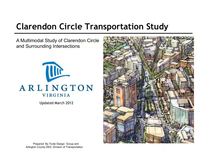
SLIDE 1 Clarendon Circle Transportation Study
Updated March 2012
Prepared By Toole Design Group and Arlington County DES, Division of Transportation
A Multimodal Study of Clarendon Circle and Surrounding Intersections
SLIDE 2 Project Goals
- Implement the Clarendon Sector Plan
- Improve pedestrian and bicycle
safety and access
- Normalize the intersection geometry
- Maintain or improve traffic flow
- Reduce pavement area / intersection
size
- Improve traffic control (signals,
signing, markings) and lighting
SLIDE 3
Key Existing Issues
SLIDE 4
Sector Plan Analysis
SLIDE 5 Existing Traffic Conditions
Analysis for 2015
AM/PM peak Level of Service
SLIDE 6 3 Concepts for Lane Configurations
- Concept 1 (Existing Lanes) – Keep existing lane configuration on
Washington Boulevard: keep existing westbound left turn lane. Level of Service AM/PM = C/C
- Concept 2 (Four Lanes) – Four lanes on Washington Boulevard: Remove
westbound left turn lane. Level of Service AM/PM = D/D
- Concept 3 (Five Lanes) – Five lanes on Washington Boulevard: Add
eastbound left turn lane. Level of Service AM/PM = B/C
SLIDE 7
Lane Configuration 1 (Existing Lanes)
Existing lanes on Washington Blvd
SLIDE 8
Lane Configuration 2 (Four Lanes)
Four lanes on Washington Blvd
(Remove dedicated left lane and create a thru/left lane)
SLIDE 9
Lane Configuration 3 (Five Lanes)
Five lanes on Washington Blvd
(add turn lane)
SLIDE 10 3 Alternatives to Improve Wilson Blvd Alignment
- Alternate A– Push towards diner property
- Alternate B – shift within intersection and
reduce footprint
- Alternate C – push towards memorial north of
intersection
These alternatives work with the Concepts 1,2, and 3 (previously viewed)
SLIDE 11
Wilson Boulevard Alignment Options Alternate A
push towards diner property
SLIDE 12
Wilson Boulevard Alignment Options Alternate B
shift within intersection and reduce footprint
SLIDE 13
Wilson Boulevard Alignment Options Alternate C
Push towards memorial
SLIDE 14 Concepts Comparison Matrix
Which combination of concept and alignment best meet the goals of the project?
SLIDE 15 Proposed Design Alternative 2B
- Tightest intersection geometry
- Realigns Washington Boulevard and Wilson Boulevard
- Washington Blvd as a 4-lane cross section (removes the
westbound left turn lane)
- Widens/adds medians
- Removes slip lane at the Olmstead Building
- Closes N. Irving Street north of intersection
- Adds curb extensions at Liberty Tavern and Sam’s Deli
- Adds bike lanes to improve bike connections
- Widens crosswalks and shortens crossing distances
- Improve sight lines and visibility
Potential best option based on Design Study results and meeting the goals of the project
SLIDE 16 Potential best option based on Design Study results and meeting the goals of the project
Proposed Design Alternative 2B
SLIDE 17
Future Build-out Opportunities
Add parking Widened sidewalks and bike lanes Potential wider median
SLIDE 18 View looking south on Washington Boulevard from NE Corner (old Petco site) Old Petco Building Corner Silver Diner Corner
Illustrations of Proposed Improvements
SLIDE 19 View looking south on Washington Boulevard Sam’s Deli Corner Old Petco Building Corner Silver Diner Corner
Illustrations of Proposed Improvements
SLIDE 20 Illustrations of Proposed Improvements
View looking West on Wilson Blvd Liberty Tavern Corner Wells Fargo bank Corner Olmstead Building Corner
SLIDE 21 View looking west on Wilson Boulevard Liberty Tavern / Sam’s Deli Corner Clarendon Central Park / monument corner
Illustrations of Proposed Improvements
SLIDE 22 Encourage westbound Wilson Blvd traffic to use 10th Street Discourage westbound Wilson Blvd traffic from going through Clarendon Circle Lengthen and improve dedicated left turn lane to add capacity and improve flow. Proposed additional changes to improve westbound Wilson Blvd traffic flow through Clarendon
10th Street and Wilson Blvd Intersection Improvements
SLIDE 23 10th Street and Wilson Blvd Intersection Improvements
Proposed Additional Changes to Improve West bound Wilson Blvd traffic flow through Clarendon. A longer left turn lane will add capacity and improve flow. Proposed improvements will be coordinated with sidewalk, signal and other pedestrian safety improvements.
SLIDE 24 The Development Project Garfield Park will be lengthening the left turn pocket to better accommodate AM peak turns on to 10th Street.
Changes to 10th Street and Washington Blvd Intersection
Left Turn Pocket Extension
SLIDE 25 Illustration of extension of left turn pocket
Changes to 10th Street and Washington Blvd Intersection
Left Turn Pocket Extension
SLIDE 26 Encourage westbound Washington Blvd traffic to use 10th Street Discourage Washington Blvd traffic from using 9th Street. Potential locations for street improvements. Potential changes to 9th Street could reduce cut through traffic
Lyon Park Neighborhood Streets
SLIDE 27 Next Steps:
- Present Conceptual Design (25% Plans) to Manager’s Office, County Board members
and Commissions.
- Launch project web page in January 2012.
- Schedule public forums to include Clarendon Alliance and surrounding civic
associations – January–May 2012.
- Meet with adjacent business owners.
- Prepare 50% engineering plans.
- Begin real estate appraisals/impacts (limited).
- Schedule second round of public meetings to focus on project details, sidewalk
paving patterns, streetlights, Petco site amenities etc.
- Provide second update to Manager’s Office, County Board and Commissions with
90% engineering plans.
- Finalize plans and prepare construction bid package/schedule construction.
- Goal: Begin construction in 2014 or sooner.
- Web Page Link:
http://www.arlingtonva.us/departments/environmentalservices/dot/page84699.aspx
End of Presentation
Arlington Project Manager:: Tom Hutchings 703 228-3809 Thutchings@arlingtonva.us