
SLIDE 1
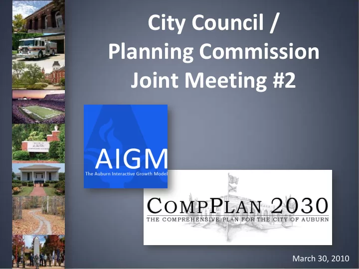
City Council / Planning Commission Joint Meeting #2
March 30, 2010
City Council / Planning Commission Joint Meeting #2 March 30, 2010 - - PowerPoint PPT Presentation
City Council / Planning Commission Joint Meeting #2 March 30, 2010 Meeting Agenda AIGM Introduction/Refresher 2009 AIGM Update How the AIGM and CompPlan 2030 work together Recent CompPlan activity Vision Statements Next
March 30, 2010
Major Annexations Property Size (Acres) Samford Property 680 Gold Hill Annexation 260 Cary Creek 225 West Pace 150 Ward Annexation 150 Donahue Ridge 62 Others 162 Total : 1689
5,000 10,000 15,000 20,000 25,000 30,000 Single-Family Multi-Family Total Units
10,588 14,652 25,240 11,329 16,256 27,585
2007 2009
Year Single Family Multi- Family Total Units 2007 10,588 14,652 25,240 2009 11,329 16,256 27,585 Change 741 1,604 2,345
Year Single Family Multi- Family Total Units 2007 10,588 14,652 25,240 2009 11,329 16,256 27,585 Change 741 1,604 2,345
0.5 1 1.5 2 2.5 3 3.5 4 Retail Office Industrial 3.48 1.75 2.46 3.68 1.96 3.03 Millions 2007 2009
Year Retail Trade sq ft bldg 2009 3,678,933 2007 3,482,520
Change 196,413
Year Office/ Services sq ft 2009 1,962,530 2007 1,748,449
Change 214,081
Year Industrial sq ft 2009 3,026,046 2007 2,461,956
Change 564,090
Year Current (Baseline) Projected (Build-out)
2007 60,172 248,432 2009 65,375 249,145 Change 5,203 713
50000 100000 150000 200000 250000 1900 1920 1940 1960 1980 2000 2020 2040 2060 2080 2100 2120 2140 2007 2009
Year Current (Baseline) Projected (Build-out) 2007 52,667 115,865 2009 57,650 119,069 Change 4,983 3,204
20000 40000 60000 80000 100000 120000 1900 1915 1930 1945 1960 1975 1990 2005 2020 2035 2050 2065 2080 2007 2009
10000 20000 30000 40000 50000 60000 70000 80000 Area outside City Limits 2007 pop Area outside City Limits 2009 pop
Year Current (Baseline) Projected (Build-out) 2007 7,505 132,567 2009 7,725 130,076 Change 220 (2,491)
Existing Commercial Centers Future Neighborhood Centers Future Community Centers Future Regional Centers
1839 1960 1990 2000 2010
Meeting Name Date/Frequency Planning Commission Work Sessions Monthly starting May 2010 Public Meeting #1 October 13, 2009 Joint Planning Commission/Council Meeting November 10, 2009 Northwest Auburn Meeting February 9, 2010 Public Meeting #2 February 23, 2010 Joint Planning Commission/Council Meeting March 30, 2010 Public Meeting #3 October 2010 Joint Planning Commission/Council Meeting October 2010 Planning Commission Adoption December 2010 City Council Adoption January 2011