
SLIDE 1
Bond Farm H Hydrologi gical E Enhancem emen ent 60% 0% De - - PowerPoint PPT Presentation
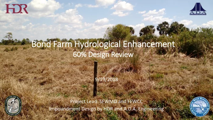
Bond Farm H Hydrologi gical E Enhancem emen ent 60% 0% De Desi sign R Revi view 9/19/2018 Project Lead: SFWMD and FFWCC Impoundment Design by HDR and A.D.A. Engineering Regional Overview Project Overview Broadly, the project
2,800 2,600 2,400 2,200 2,000 1,800 1,600 1,400 1,200 1,000 800 600 400 200 28 27 26 25 24 23
require fill, but most are close to elevation
Revised External Levee Cross-Section Revised Internal Levee Cross-Section
Grade Road
NAVD