
SLIDE 1
1
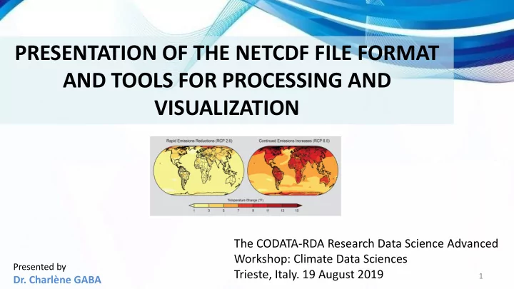
PRESENTATION OF THE NETCDF FILE FORMAT AND TOOLS FOR PROCESSING AND VISUALIZATION
The CODATA-RDA Research Data Science Advanced Workshop: Climate Data Sciences Trieste, Italy. 19 August 2019
Presented by
- Dr. Charlène GABA