
SLIDE 1
2020 Atla lantic Hurricane Preparedness
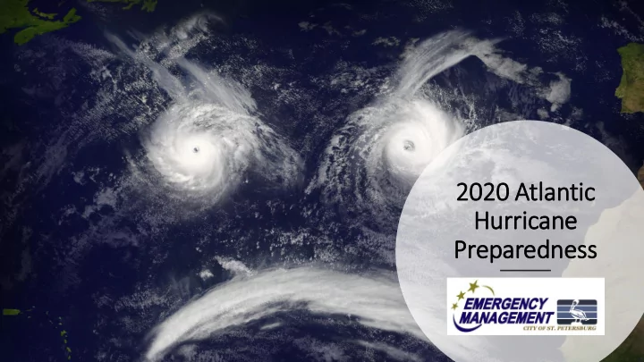
2020 Atla lantic Hurricane Preparedness Goals for Today: - - PowerPoint PPT Presentation
2020 Atla lantic Hurricane Preparedness Goals for Today: Introduction of myself and EM Emergency Management structure What we Learned from 2019 2020 Preview Hurricane Basics Lets Prepare! Hurricane Preparedness in
2020 Atla lantic Hurricane Preparedness
Goals for Today:
structure
COVID-19 World
Your City EM Team!
Amber Boulding, MPH, FPEM
Emergency Management Manager
Kyla Breland, MPH, MEP
Emergency Management Specialist
Emergency Management Structure
Fed (FEMA) State (FDEM) County (PCEM) City (OEM)
Primary responsibility for emergency response is at the local level!
Emergency Management Structure
Fed (FEMA) State (FDEM) County (PCEM) City (OEM) You (residents)
Primary responsibility for emergency response is at the local level!
Mistakes are meant for learning, not for repeating.
What we learned in 2019
2019 Atlantic Hurricane Season
record in the Atlantic basin in terms of wind (185 mph)
hurricane season
a community from a cat 5 storm that hangs around for two days
and act accordingly
safety precautions and think through your plans
storm stress
2020 Atlantic Hurricane Season Preview
What we hear and see on the news…
the 2020 Atlantic hurricane season will be near- or above-normal.”
an above-normal season, a 40 percent chance of a near-normal season, and a 25 percent chance
upcoming hurricane season, which extends from June 1 to November 30.”
9 could become hurricanes (winds
1 to 4 major hurricanes (category 3, 4 or 5; with winds of 111 mph
season produces 12 named storms, of which 6 become hurricanes, including 3 major
But remember…. It only takes 1
Hurricane Season
Arthur Bertha Cristobal Dolly Edouard Fay Gonzalo Hanna Isaias Josephine Kyle Laura Marco Nana Omar Paulette Rene Sally Teddy Vicky Wilfred
2020 Storm Names
Tropical Cyclones
defined surface circulation and maximum sustained winds
defined surface circulation and maximum sustained winds
thunderstorms with a well-defined surface circulation and maximum sustained winds of 74 mph
Dif ifference between Watch vs. . Warning
Watch
possibility of life-threatening inundation from rising water moving inland from the shoreline somewhere within the specified area, generally within 48 hours.
announcement that tropical-storm conditions are possible within 48 hours the specified area.
that hurricane conditions are possible within 48 hours in the specified area.
Warning
danger of life-threatening inundation from rising water moving inland from the shoreline somewhere within the specified area, generally within 36 hours.
announcement that tropical-storm conditions are expected within 36 hours in the specified area.
announcement that hurricane conditions are expected within 36 hours in the specified area.
3 STEPS to Prepare For All Hazards
Stay Informed
CONNECT to vital emergency information about dangerous weather and other hazards.
Know Your Risk
ASSESS your risk from storms and
Make a PLAN
PLAN where you’ll go and what you’ll do in an emergency.
Connect to Emergency Information
ALERT St. Pete
www.stpete.org/aler tstpete
Weather radio Social Media Local news (TV and web) Citizens Information Center
893-7111 Pinellas County 464-3333
Assess Your Ris isks
Storm Surge
effects of storm surge
http://kyz.pinellascounty.org/
Utility bill
Wind
roofs collapsing
buildings
height of building
are NOT SAFE Run from the water, hide from the wind!
Flooding
weather-related deaths in the United States
vehicle related
flood zone
www.pinellascounty.org/flooding
Mobile Homes
homes, recreational vehicles
havens
always evacuate, regardless of where they are located
Preparing for a hurric icane wit ith COVID ID in in min ind
everyone in your family
When an evacuation is called:
evacuate, consider staying in your home.
notifications set.
If you go…
http://pinellascounty.org/emer gency/specialneeds.htm to register if you need assistance
Out of town
Leave days in advance of the storm Fill your gas tank as early as possible Bring your emergency kit Have an emergency kit for your vehicle Stay away from the forecasted path and beyond Re-entry may be restricted after the storm
Hotel/Motel/Airbnb
Check the evacuation zone Make reservations early Call ahead to confirm Have two backup plans Bring enough food and water to take care of yourselves For availability during emergencies: www.visitstpeteclearwater.com/storm
Host Home
Be one or stay in one!
preparations
based on size of group
much as possible
if possible
equipment
stay together as buffer provided between units
clean and sanitized
must register www.pinellascounty.org/specialneeds
bowls, litter box/litter, medicine, comfort foods
www.pinellascounty.org/animalservice
BUILD a Survival Kit
“stay” kit?
container
per person per day
Don’t stay behind with the plan to call for help if needed!
Why? First responders CAN’T respond in sustained winds 40 mph and above
During the Storm
respond during dangerous winds
down
to interior room
Aft fter th the Storm
Resources- Questions –
Emergency.Management@stpete.org