
SLIDE 1
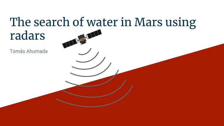
The search of water in Mars using radars
Tomás Ahumada
The search of water in Mars using radars Toms Ahumada Motivation - - PowerPoint PPT Presentation
The search of water in Mars using radars Toms Ahumada Motivation First publication Following publications How to do it? ESA The Satellite Mars Explorer MARSIS Radar specifics Radargram Diagram to explain
Tomás Ahumada
ESA
Step 1: Decompress the level 1A data. Step 2: Transform the data to power expresses in the units of dBm. Step 3: Convert power to the antenna by correcting for system gain. The system gain is frequency dependent and data are corrected for variations in system gain over frequency via a lookup table Step 4: Divide by the bandwidth (10.9KHz) and antenna length squared; (20m2)
Raw Telemetry data Decompress + express in dBm Power - Gain Divide by bandwidth and antenna length squared V2/m2/Hz
For the surface (s) For the layer underground
Porcello et al. 1974
Carter et al. 2009