
SLIDE 1
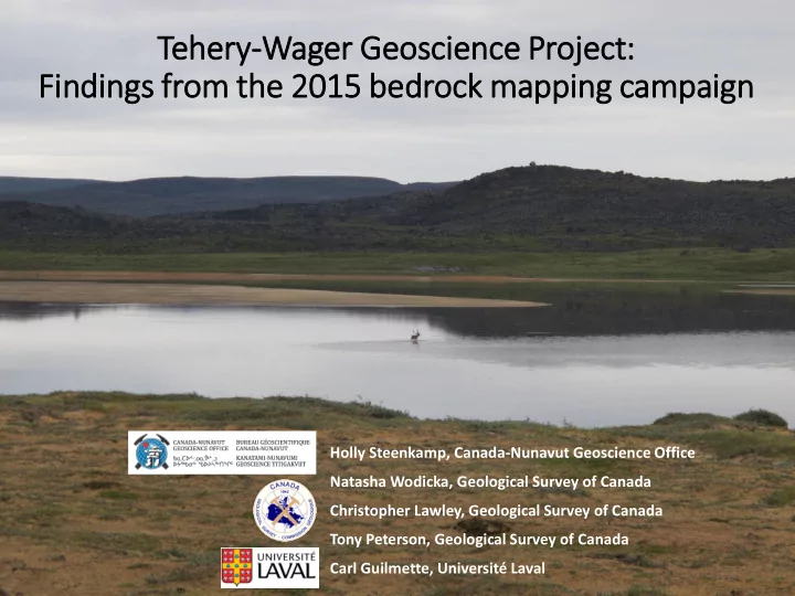
Te Tehery-Wager Geoscie ience Proje ject: Fin indings from the 20 2015 bedrock mappin ing campaign
Holly Steenkamp, Canada-Nunavut Geoscience Office Natasha Wodicka, Geological Survey of Canada Christopher Lawley, Geological Survey of Canada Tony Peterson, Geological Survey of Canada Carl Guilmette, Université Laval