
SLIDE 1
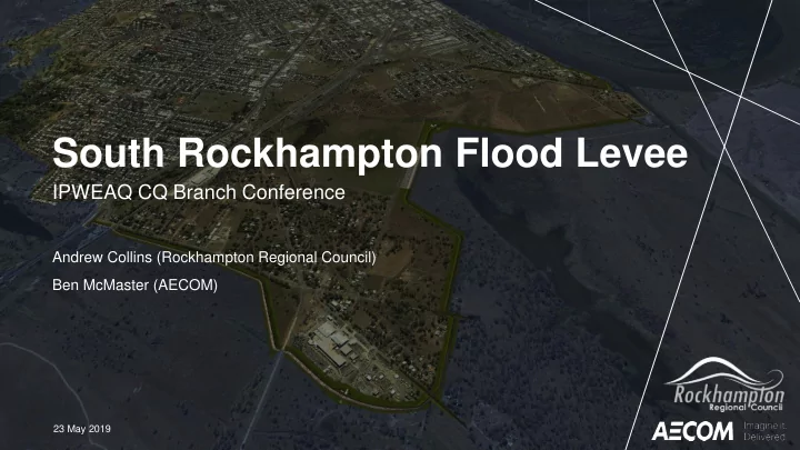
South Rockhampton Flood Levee
IPWEAQ CQ Branch Conference
Andrew Collins (Rockhampton Regional Council) Ben McMaster (AECOM)
23 May 2019
South Rockhampton Flood Levee IPWEAQ CQ Branch Conference Andrew - - PowerPoint PPT Presentation
South Rockhampton Flood Levee IPWEAQ CQ Branch Conference Andrew Collins (Rockhampton Regional Council) Ben McMaster (AECOM) 23 May 2019 Structure 1. History & Context 2. Current Status 3. Technical Details 4. Whats next What is a
IPWEAQ CQ Branch Conference
Andrew Collins (Rockhampton Regional Council) Ben McMaster (AECOM)
23 May 2019
3
Raised, predominantly earth, structures that provide protection against river flooding. Can include:
Vital part of modern flood risk management. 12,000 levee systems throughout the United States
5
1. Fitzroy River Barrage Study (Department of Local Government) 1964 2. The Yeppen Model (Capricornia Institute of Advanced Education) 1977 3. Rockhampton Flood Management Study (CMPS&F) 1992 4. Rockhampton Floodplain Management Policy (Willing & Partners) 1999 5. Lower Splitters Creek Flood Study (Fisher Stewart) 2001 6. Fitzroy River Flood Study (Aurecon) 2011 7. Fitzroy River Floodplain and Road Planning Study (AECOM) 2012 8. SRFL Planning and Design (AECOM) 2014
6
7
Flood Risk:
flood-prone land; exposed to an “existing” risk of flooding.
flood-prone land; exposed to “future” flood risk.
Most Proactive Most Reactive
8
9
10
Overarching objectives:
Road.
hydraulics, environmental, existing infrastructure, resumptions).
12
13
14
Nov 2018:
“Enables the Office of Coordinator General (OCG) to intervene in State and Local Government approval processes to ensure timely decision making for the prescribed project.”
May 2019:
received.
16
17
18
Day-to-Day During Flood
19
20
21
22
23
INSERT
25