
SLIDE 1
GI Days Münster, June 2008
Spatial Data Infrastructures
Is there a Future for Spatial Data Infrastructures?
Ulrich Boes, URSIT Ltd. Raina Pavlova, Technical University Sofia, Bulgaria
2
GI Days Münster, June 2008
Outline
Spatial Data Infrastructures Some Questions on SDIs Value Chain for GI production World Wide Web and its Impact The Geospatial Web Comparison SDI and Geospatial Web Conclusions: the Future
3
GI Days Münster, June 2008
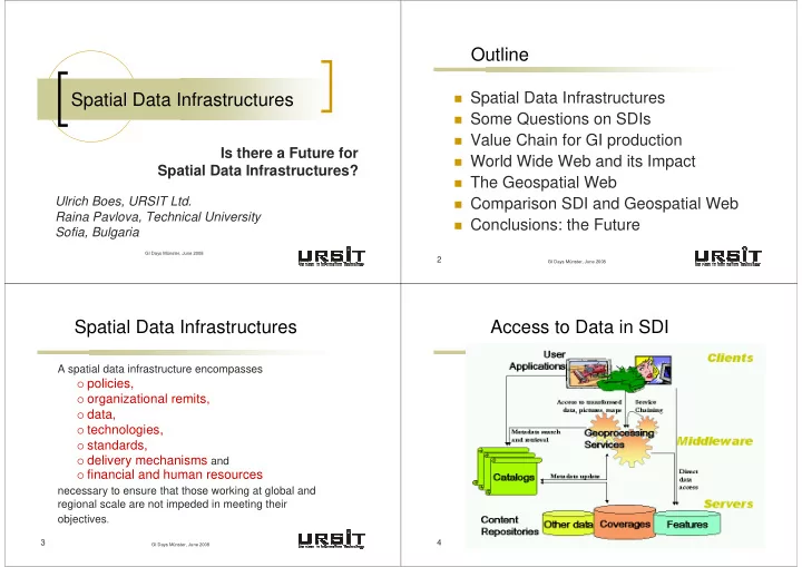
Spatial Data Infrastructures
A spatial data infrastructure encompasses
policies,
- rganizational remits,
data, technologies, standards, delivery mechanisms and financial and human resources
necessary to ensure that those working at global and regional scale are not impeded in meeting their
- bjectives.
4
GI Days Münster, June 2008