
SLIDE 1
1
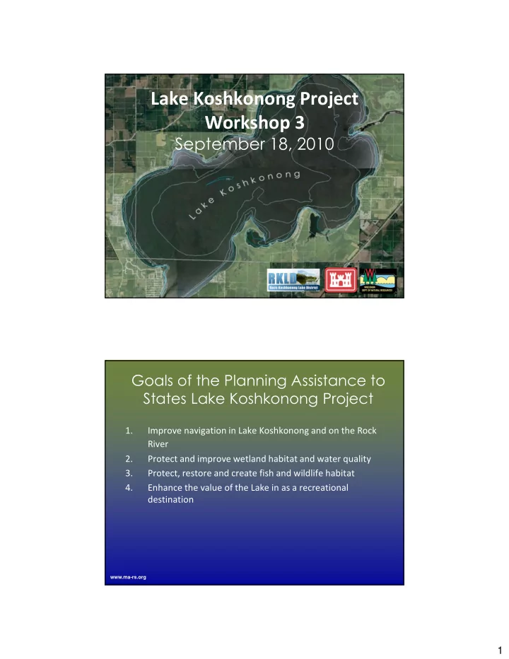
Lake Koshkonong Project Workshop 3
- 1.
Improve navigation in Lake Koshkonong and on the Rock River 2. Protect and improve wetland habitat and water quality 3. Protect, restore and create fish and wildlife habitat 4. Enhance the value of the Lake in as a recreational destination
www.ma-rs.org