
SLIDE 1
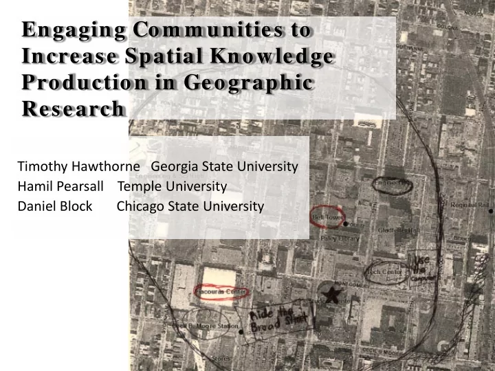
Engaging Com m unities to Increase Spatial Knowledge Production in Geographic Research
Timothy Hawthorne Georgia State University Hamil Pearsall Temple University Daniel Block Chicago State University
Engaging Com m unities to Increase Spatial Knowledge Production in - - PowerPoint PPT Presentation
Engaging Com m unities to Increase Spatial Knowledge Production in Geographic Research Timothy Hawthorne Georgia State University Hamil Pearsall Temple University Daniel Block Chicago State University Community Geography Places
Timothy Hawthorne Georgia State University Hamil Pearsall Temple University Daniel Block Chicago State University
11/9/2012 2
11/9/2012 3
11/9/2012 4
11/9/2012 5
11/9/2012 6
11/9/2012 7
11/9/2012 8
11/9/2012 9
11/9/2012 10
11/9/2012 11
A project of NPU-V & NPU-L in partnership with ECO-Action
11/9/2012 12
11/9/2012 13
Illegal Tire Dumping Press Conference: March, 8th, 2012
11/9/2012 14
11/9/2012 15
Pre-Exercise Post-Exercise
5 10 15 20 25 30 35 No no response Yes
Would you attend Temple for college? Why yes?
interest Why no?
change
11/9/2012 27
11/9/2012 28
11/9/2012 29
11/9/2012 30
11/9/2012 31
11/9/2012 32
11/9/2012 33
11/9/2012 34
11/9/2012 35
11/9/2012 36
11/9/2012 37
11/9/2012 38