
SLIDE 1
1
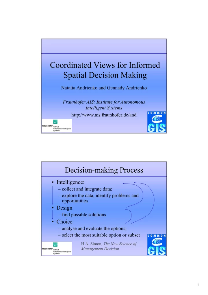
Coordinated Views for Informed Spatial Decision Making
Natalia Andrienko and Gennady Andrienko Fraunhofer AIS: Institute for Autonomous Intelligent Systems http://www.ais.fraunhofer.de/and
Decision-making Process
- Intelligence:
– collect and integrate data; – explore the data, identify problems and
- pportunities
- Design
– find possible solutions
- Choice